| CENSUS: (Proposal as of 01/01/2015) 4,915 inhabitants | PROVINCE: Alicante |
| REGION: Vega Baja | ADDRESS: Plaza del Ayuntamiento, Nº 1 |
| NUMBER OF COUNCILORS: 11 | CODE POSTAL: 03187 |
| SPEAK: Spanish | PHONE: 96 672 10 87 |
| FEDERATED | FAX: 96 672 10 04 |
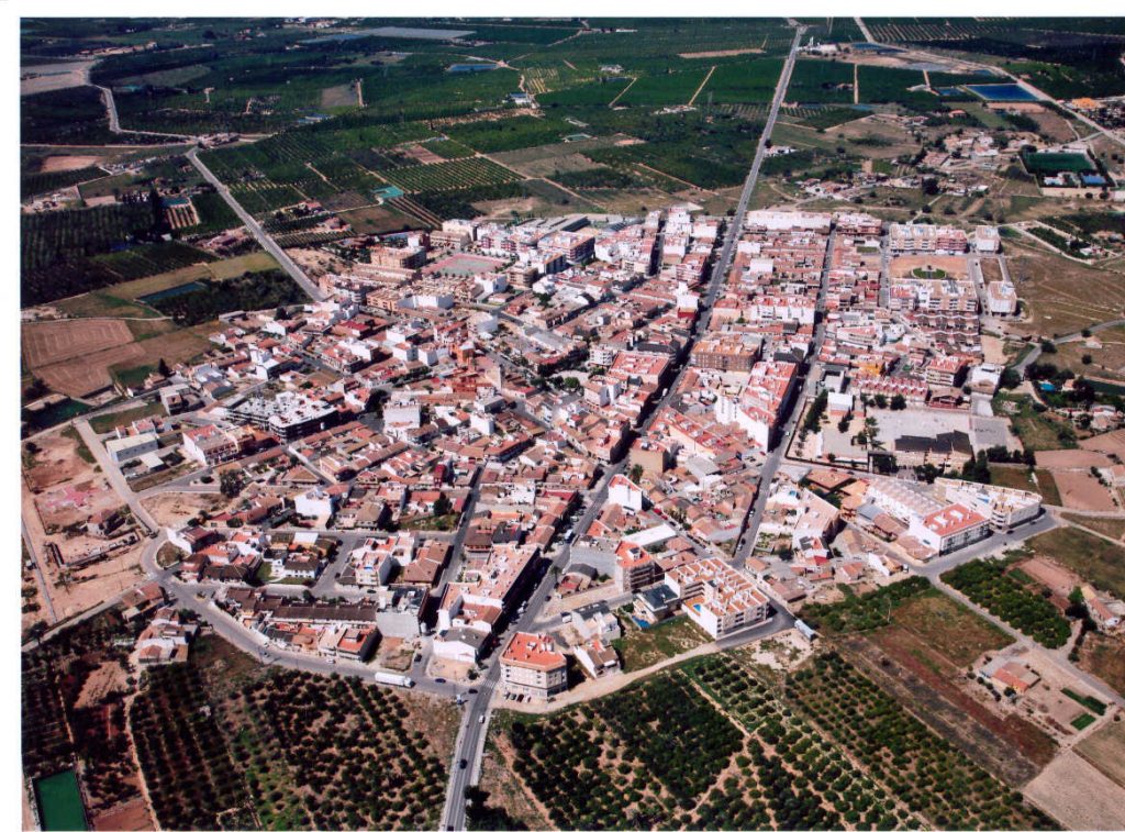
Geographic representation and physical description
As we can see in the tables that appear just below, the “population density” of Los Montesinos (163.71 inhabitants / km2), is lower than the average for Vega Baja with 207.1 inhabitants / km2, and a long way from the density of average population of the province of Alicante with 234.4 inhabitants / km2.
| CODE | REGION(1) | POPULATION ENTITIES(2) | POPULATION DENSITY (inhab/km2) |
| 03903 | El Baix Segura | 1 | 163.71 |
(2) I.N.E. Nomenclator population nuclei.
GEOGRAPHICAL DATA:
| LATITUDE | LENGTH | SURFACE | % PROVINCE | ALTITUDE | DISTANCE TO CAPITAL |
| 38 01′ N | 0 44′ O | 15.132 km | 0.3 | 7 m | 50 Km |
From the geomorphological point of view, the Municipality of Los Montesinos is located on the southern Neogene edge of the eastern end of the Intra-Betic Trench, constituted in this sector by the Vega Baja del Segura. The structural compartmentalization that this properly Betic domain presents is organized around the aforementioned depression, perfectly delimited and individualized on its northern edge by the Neogene slopes located to the north of the Crevillente-Elche line; while to the south, they are equally Neogene elevations, which, from the so-called Segura fault, mark the dividing line between this course and the small slope basins located further south.
The Municipality of Los Montesinos is articulated around the bed of the Torrevieja Lagoon, an endorheic basin that, together with the neighboring La Mata, is perfectly individualized from the surrounding sectors with clear exorheic roots. This precise delimitation is based on tectonic facts. Indeed, to the North, West and South of these lacustrine spaces, there is a series of uplifted blocks: the northernmost, arranged from East to West, is uplifted to the North by the Segura fault and, in turn, fragmented into two sets (the one at Atalaya-Moncayo, and the one at Escotera de Algorfa); the western one, raised by the so-called San Miguel de Salinas fault, corresponds to the arc-shaped unit that begins in the Cueva Blanca (72 m), culminates in the Hita (237 m.), for, through the Loma Larga (203 m.) and the Pelegrín slope (193 m.), connect with the northern block.
These elevations are basically made up of Neogene materials, although, and due to tectonic action until very recent times, the rise of these positive axes has also affected the Plioquaternary materials, singled out in the calcareous or caliche crust that crops out in the sector. northern part of the municipal area (in El Cabezo and La Herrada, above all).
Regarding the climatic characteristics of the Term, aridity and rainfall irregularity are the most notable climatic characteristics and with the greatest geographical impact. In general, the climate of the area is characterized by very mild temperatures, with an average of more than 10 0C in the coldest month, which causes a low thermal amplitude despite the 260 C in August. For its part, rainfall is scarce, since the average is around 300 mm, with a main maximum in October and two minor peaks in spring and winter; In any case, most of these precipitations are linked to disturbances of non-frontal origin related to processes of detached lows in altitude, popularly known as “Cold Drops”.
Regarding the plant cover, in those sectors where crops have been abandoned, banal plant communities of ruderal or nitrophilous species have been installed, the sectors closest to the Torrevieja Lagoon with the presence of halophilic communities, and finally, the sector called Los Altos , where under a repopulated pine forest sits the subshrub scrub that replaces the southern thorns. There, together with species such as the black thorn (Rhamnus lycioides) and some palm hearts or mastics (remains of primitive vegetation), the abundance of lipped and cistacean species stands out, especially of the Thymus genera, among which Thymus vulgaris and Thymus menbranaceus, and Teucriu, such as Teucrium capitatus, Teucrium homotrichum and Teucrium libanitis, together with rosemary; as well as Fumana ericoides and Helianthemun syriacum.
Urban centers of tourist interest (within a radius of 50 km.)
| NAME OF THE LOCATION | DISTANCE (KM) |
|---|---|
| TORREVIEJA | 8 |
| ORIHUELA | 25 |
| ALICANTE | 50 |
| GUARDAMAR | 13 |
| BIGASTRO | 18-20 |
| SAN MIGUEL DE SALINAS | 6-7 |
| REDOVAN | 25-30 |
| CALLOSA DEL SEGURA | 23-28 |
| PILAR DE LA HORADADA | 23 |
| ROJALES | 7-8 |
| ALGORFA | 7-8 |
| ALL THE MUNICIPALITIES OF THE REGION OF LA VEGA BAJA (A total of 27 municipalities) | (BETWEEN 6-50 km) |